Background to the floods
The heavy rains in Kenya which began in September and continued through January caused extreme flooding in Amboseli National Park. By December the floods stretched from the Loitokitok to Namanga roads (see photos below) causing a closure of the airfield and viewing roads. Inbound air traffic was diverted to Tawi and Ol Doinyo Uas strips, resulting in transfer times to the lodges of up to three hours. The disruptions and tourist complaints carried in the social media led to cancellations and heavy revenue losses to the hotels and the Kenya Wildlife Service (KWS).
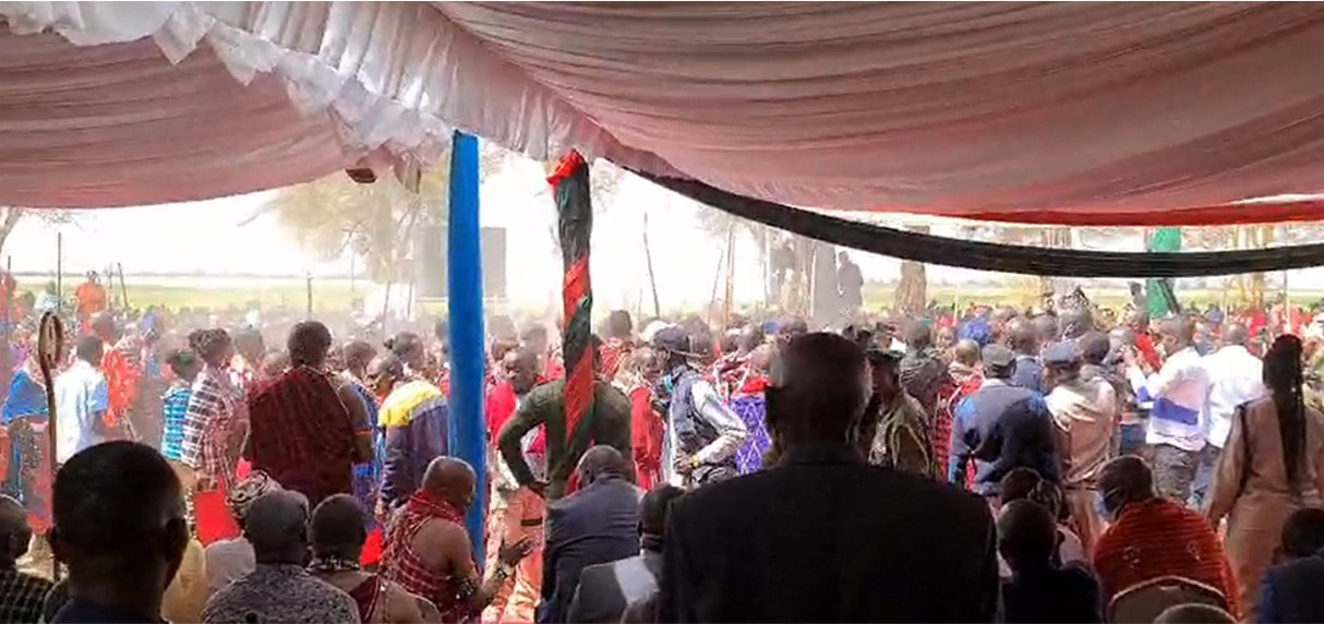
The warden noted that the flooding had grown worse in recent years, was causing extensive damage to the roads and threatened the future of tourism in the park. He asked the meeting to identify the source and cause of the flooding, restorative measures for the airfield and roads, and preventive measures to curb future floods. The lodge operators, raising their concerns about the disruptions to visitors and sharp drop in revenues, asked for emergency measures to restore the park.
Asked to give a background to the flooding, I made the following points and recommendations which I have supplemented with photos:
- Until 1992 the basin didn’t flood as it now does. The extensive woodlands and shrub cover arrested and contained the heaviest rainfall in small isolated pans.
- The loss of vegetation cover, coupled with extensive erosion from the higher elevations north and south of the basin, has caused the excessive inflow of water channeled into Longinye Swamp and out the far end across the central basin.
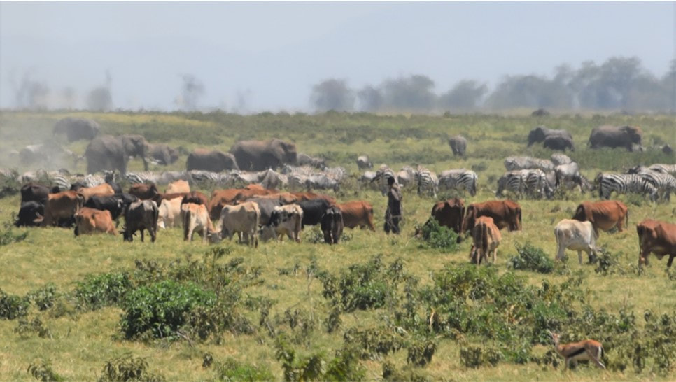
- The erosion is due to the permanent settlement and heavy erosion around Amboseli. The extensive flooding began in 1992 after migratory livestock herders set up permanent homes. The heavy permanent grazing caused a loss of ground cover and heavy erosional runoff flooding into the basin. The erosion channels caused by the incoming floods rushing into Longinye Swamp during the rains can be seen in the photo below
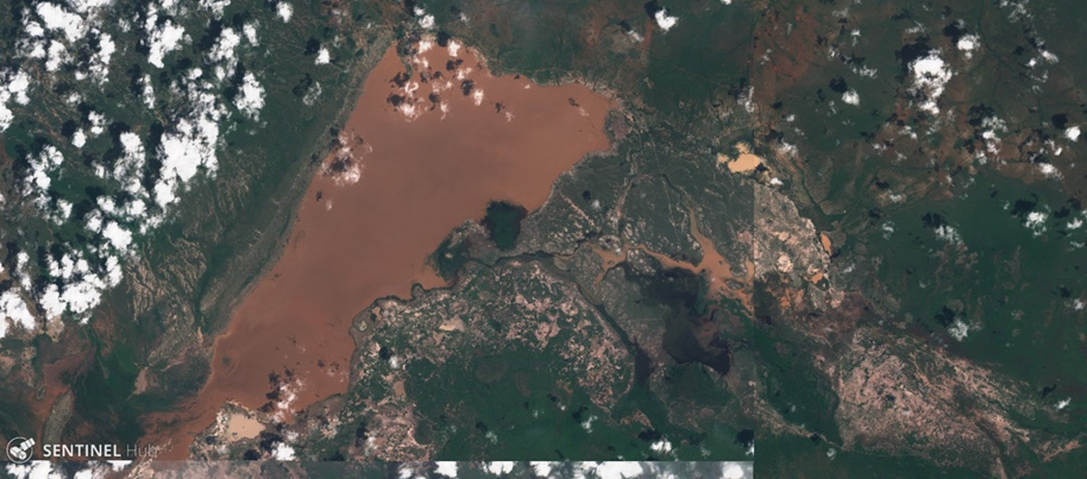
- The clearest evidence of the flood waters originating off the heavily eroded lands around the park is captured in the satellite image below taken at the height of the floods. The flood waters are red-brown, the color of soils surrounding basin, rather than white soils of the basin and the flood pans filled by internal rainfall.
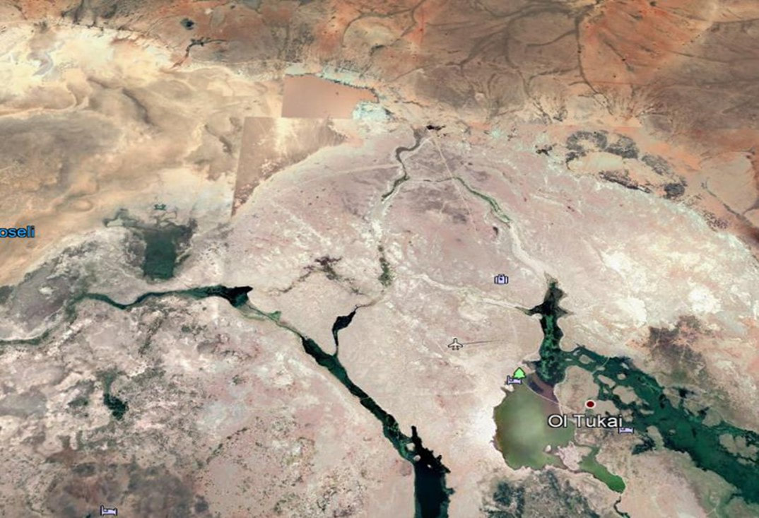
- Two troughs stretching across the basin and visible from satellite imagery (below) drained Longinye Swamps into Lake Amboseli during historical periods of high rainfall. These channels have silted up over the decades.
- The drainage troughs can be desilted to carry excess future flooding into Lake Amboseli. The survey and works should be completed before the next rains to avoid another tourist closure.
- In the meantime, I landed at the airstrip before the meeting to show it is fully usable and accessible to four-wheel-drive traffic. The airstrip should be reopened immediately to avoid further tourist disruptions.
- As a short-term measure can be taken to dump and level marram on the five kilometers or so of the main airstrip access and viewing roads. The roads, deflated by years of grading without recapping with marram to keep them raised above surface level, have become ribbon channels in many places.
- In the longer term, a range-land restoration program to combat erosion and restore pasture on the surrounding Ololorashi-Ogulului Group Ranch is underway. The program, funded by the Dutch NGO, Justdiggit through the Amboseli Ecosystem Trust and the African Conservation Centre, should reduce the erosional runoff into the basin in due course.
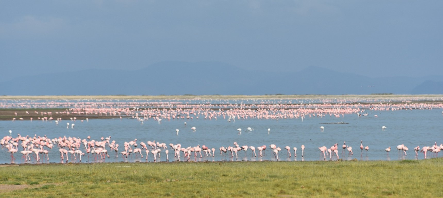
- One proviso of flood abatement that may need to be considered is whether to retain the enough seasonal flood waters to maintain the great attraction the thousands of flamingoes and water birds have become to the park.
- The meeting agreed that KWS would move ahead immediately to open the airstrip and repair the access roads and main viewing circuits in the central park.
- The lodge representative agreed to provide stop-gap funding if needed.
- KWS, working in collaboration with the lodges and ACP, will conduct a topographic survey to determine the desilting levels needed to channel the Longinye Swamp excess flooding into Lake Amboseli.
- The meeting was a positive step in engaging the tourism industry and conservation organizations in KWS’s planning and management of the park. The meeting should meet again within a month to review progress and become a permanent joint committee working for the future of Amboseli National Park and the larger ecosystem.
 RSS Feed
