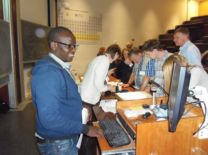
 Victor Mose demonstrating the software applications at a workshop in Bristol, UK
 ACP’s ultimate aim for the integrated ecological monitoring and one-stop software program is to produce regular state-of-ecosystem reports of the Kenya-Tanzania borderlands on a Google Earth image for use by participating NGOs and communities.
Victor Mose used the new software to analyze the Laikipia Wildlife Forum (LWF) wildlife count undertaken by DRSRS in May. Victor presented a review of the integrated analytical software at the fourth Spatial Ecology Conference in July 2016 in Bristol, United Kingdom (see details here). The presentation will be submitted in the December 2016 report.
 RSS Feed
